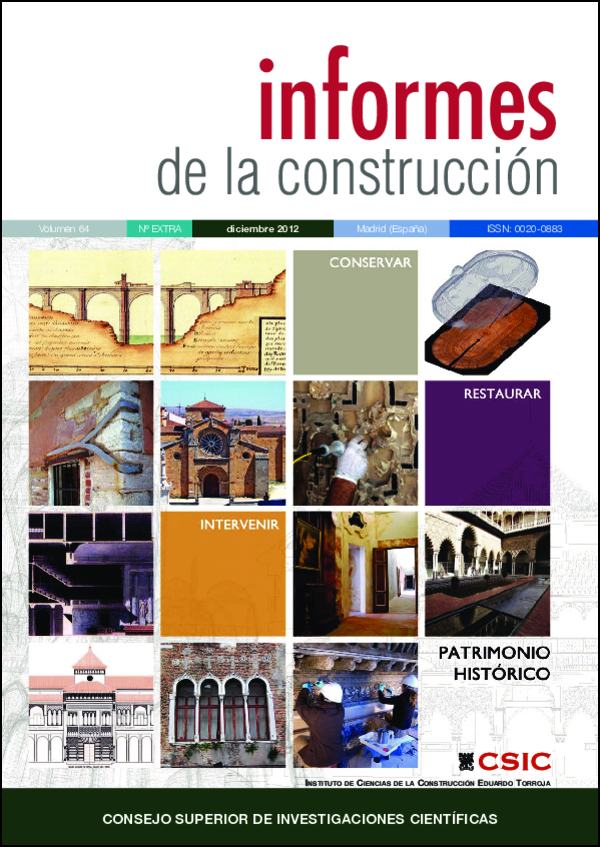
The art of describing the territory: historic maps and plans of the bridge of Alcántara (Cáceres, España)
DOI:
https://doi.org/10.3989/ic.11.071Keywords:
Landscape, cultural heritage, history, bridges, cartographyAbstract
The study of the construction of the territory and the landscape at different scales has been traditionally based on written documentary sources, and to a lesser extent on the graphic ones. The cartographic sources, as well as paintings, drawings, and photographs have been often relegated to a secondary role, and thus undervalued. This fact is due to the difficulties of interpretation of the cartographic documents, but also to the obstacles to find their location, and even to access to them. This article considers the territory under the scope of the cultural heritage, and collects many historical and unpublished data about the Roman Alcantara Bridge through the analysis of historical maps and plans.
Downloads
References
(1) Alzola y Minondo, P. 1979. Historia de las Obras Públicas en España. Madrid, Colegio de Ingenieros de Caminos, Canales y Puertos.
(2) Andrews, J.H. 2005. “Meaning, knowledge and power in the philosophy of maps”. En J.B. Harley, The new nature of maps. Essays in the history of cartography. Baltimore, Maryland, The Johns Hopkins University Press, 21-58. PMid:15685021
(3) Bouza Álvarez, F. 1995. “Cultura de lo geográfico y uso de la geografía entre España y los Países bajos durante los siglos XVI y XVII”, en De Mercator a Blaeu. España y la Edad de Oro de la cartografía en las diecisiete provincias de los Países Bajos. Madrid.
(4) Bragard, P. 1997. Dictionnaire biographique des ingenieurs militaires dans les Pays Bas espagnols (1504-1713). Tesis doctoral inédita, Universidad Louvain-la-Neuve.
(5) Cámara, A. (Coord.) 2005. Los Ingenieros Militares de la Monarquía Hispánica en los siglos XVII y XVIII. Madrid, Ministerio de Defensa,
(6) Campos, F.J. 2008. Las Relaciones Topográficas de Felipe II: Índices, Fuentes y Bibliografía. http:// rcumariacristina.com/.
(7) Campesino, A. 2006. Fortificaciones abaluartadas de Extremadura: planos inéditos de Moraleja, Zarça de Alcántara, Alcántara, Valencia de Alcántara y Alburquerque. http://www.dipbadajoz.es/ publicaciones/.
(8) Capel, H. et al. 1983. Los ingenieros militares en España. Siglo XVIII. Publicacions de la Universitat de Barcelona. PMCid:1549702
(9) Cassani, J. 1705. Escuela militar de fortificación ofensiva y defensiva. Arte de fuegos y de escuadronar. Madrid.
(10) Chías, P. y T. Abad. 2004. Los caminos y la construcción del territorio en Zamora. Catálogo de puentes. Zamora / Madrid: CSIC / CEHOPU.
(11) Chías, P. y T. Abad. 2007. “A GIS in Cultural Heritage based upon multiformat databases and hypermedial personalized queries”. ISPRS Archives XXXVI-5: 222-226.
(12) Chías, P. y T. Abad. 2008. “Las vías de comunicación en la cartografía histórica de la cuenca del Duero: construcción del territorio y paisaje”. Ingeniería Civil 149: 79-91.
(13) Chías, P. y T. Abad. 2008. “La construcción del territorio: caminos y puentes en Castilla y León.” En Las Obras Públicas en Castilla y León. Ingeniería, territorio y patrimonio. CICCP, Junta de Castilla-León, Valladolid, pp. 299-414.
(14) Commission of the European Communities. 2005. I2010: Digital Libraries. Brusselas.
(15) Delano-Smith, C. 2007. “Signs on Printed Topographical maps, ca. 1470-ca. 1640”, en D. Woodward (ed.), The History of Cartography. Vol. III: Cartography in the European Reanaissance, Part I, pp. 528-590. Chicago, The University of Chicago Press.
(16) Harley, J.B. 1968. "The evaluation of early maps: Towards a methodology". Imago Mundi 22: 68-70. http://dx.doi.org/10.1080/03085696808592318
(17) Harley, J.B. and D. Woodward 1987. “Preface”. En J.B. Harley y D. Woodward, The history of cartography: Cartography in prehistoric, ancient, and medieval Europe and the Mediterranean. Chicago, The University of Chicago Press, Vol. I, xv-xxi.
(18) Harvey, P.D.A. 1980. Topographical maps. Symbols, pictures and surveys. London:,Thames and Hudson.
(19) Hevilla, M.C. 2001. “Reconocimiento practicado en la frontera de Portugal por el ingeniero militar Antonio Gaver en 1750”, Biblio 3W. Revista Bibliográfica de Geografía y Ciencias Sociales, vol. VI, num. 335
(20) Kagan, R.L. 1998. Imágenes urbanas del mundo hispánico, 1493-1780. Madrid, Eds. El Viso.
(21) López Gómez, A. 1998. La navegación por el Tajo. El reconocimiento de Carduchi en 1641 y otros proyectos. Madrid, Real Academia de la Historia.
(22) Lucuze, P. de, 1772. Principios de fortificación, que contienen las definiciones de los términos principales de las obras de Plaza, y de Campaña, con una idea de la conducta regularmente observada en el Ataque, y Defensa de las Fortalezas. Dispuestos para la instrucción de la juventud militar por… Mariscal de Campo de los Reales Exercitos, y Director de la Real Academia de Matemáticas establecida en Barcelona. Barcelona, Thomas Piferrer.
Downloads
Published
How to Cite
Issue
Section
License
Copyright (c) 2012 Consejo Superior de Investigaciones Científicas (CSIC)

This work is licensed under a Creative Commons Attribution 4.0 International License.
© CSIC. Manuscripts published in both the print and online versions of this journal are the property of the Consejo Superior de Investigaciones Científicas, and quoting this source is a requirement for any partial or full reproduction.
All contents of this electronic edition, except where otherwise noted, are distributed under a Creative Commons Attribution 4.0 International (CC BY 4.0) licence. You may read the basic information and the legal text of the licence. The indication of the CC BY 4.0 licence must be expressly stated in this way when necessary.
Self-archiving in repositories, personal webpages or similar, of any version other than the final version of the work produced by the publisher, is not allowed.


