Characterization of the landscape and its possible environmental impact based on the classification Corine Land Cover and the use of GIS
DOI:
https://doi.org/10.3989/ic.2001.v53.i476.644Abstract
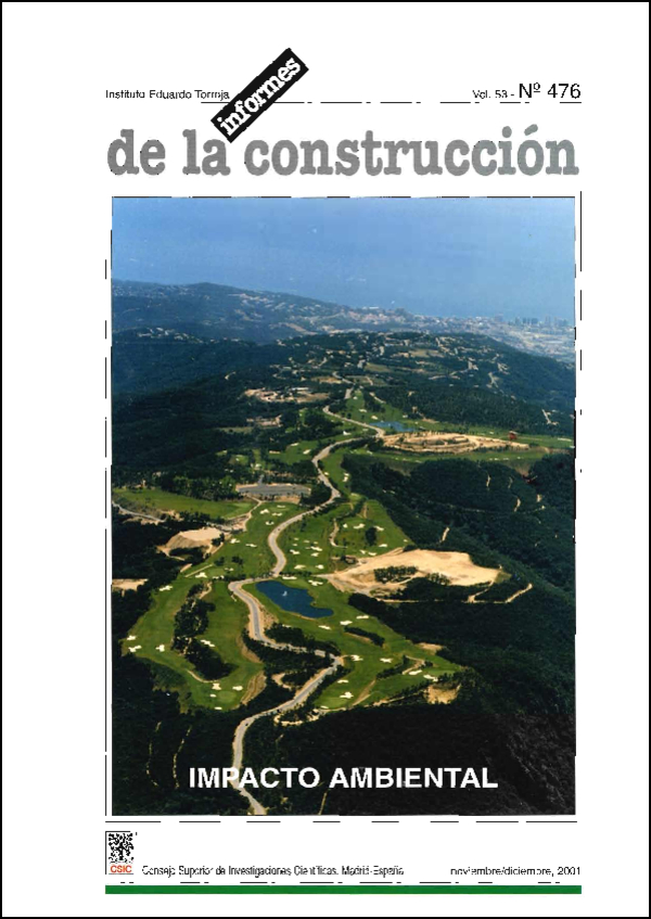
This article exposes a model of valuation of landscape quality. The model is applied to the coastal zone of !he CC.AA Cantabra. The landscape units are calculate with the GIS Arc-Kew, and later valued in function of a series of components, most of which are obtained from the classification Corine Land Cover.
Downloads
Downloads
Published
How to Cite
Issue
Section
License
Copyright (c) 2001 Consejo Superior de Investigaciones Científicas (CSIC)

This work is licensed under a Creative Commons Attribution 4.0 International License.
© CSIC. Manuscripts published in both the print and online versions of this journal are the property of the Consejo Superior de Investigaciones Científicas, and quoting this source is a requirement for any partial or full reproduction.
All contents of this electronic edition, except where otherwise noted, are distributed under a Creative Commons Attribution 4.0 International (CC BY 4.0) licence. You may read the basic information and the legal text of the licence. The indication of the CC BY 4.0 licence must be expressly stated in this way when necessary.
Self-archiving in repositories, personal webpages or similar, of any version other than the final version of the work produced by the publisher, is not allowed.